- Wandering Down the Rabbit Hole of History
- Posts
- Morgan Shoal and the Lakefront
Morgan Shoal and the Lakefront
With a link to the talk
Patricia L. Morse
January 14, 2024
Morgan Shoal and the Lakefront
Welcome to my new newsletter!
First a little housekeeping
Some of you might be interested in the past blog posts. If so, you can subscribe to my WordPress site at https://patricia-morse.com/ and get an email to let you know when something posts. I’m going to be gathering in the old posts from Substack and Blogger so that they are in one place that I have a little control over.
Morgan Shoal and the Lakefront
While I’ve been wrestling with tech issues, my article on Morgan Shoal was published in the Hyde Park Herald Some sidelights didn’t make it into the article.
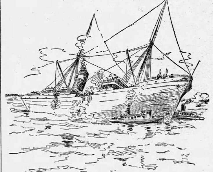
One of my favorite discoveries was the complex network of fossil coral reefs that made Hyde Park infamous among sailors in the 19th century. Luckily, because ships ran aground but didn’t sink because they were sitting on rock, there was little loss of life, though there were some desperate rescues of sailors clinging to the rigging in snowstorms. Before photos were used in newspapers there were wonderful sketch artists. Here’s one of the wreck of the Peck on the eastern edge of Morgan Shoal.
Here’s a look at the shoal system and how extensive it is. There were a lot of wrecks. This is an actual navigation map from https://www.usharbors.com/harbor/illinois/chicago-il/map/.
The black box marks Morgan Shoal and has the cute little shipwreck drawing for the Silver Spray. I couldn’t confirm what the red things are. Some may be buoys. The red box has been generally called the Hyde Park shoals and the blue box was a particularly deadly spot for ships carrying iron ore and coal down to the steel mills. I suspect that might have been one reason that Mayor Richard J. Daley threatened to build an airport straight east of the Point, which would have become a causeway. What a nightmare that would have been.

As I mentioned in an earlier email, for a while the lakefront bristled with piers and squatters lived on the sand. One of them, George “Old Dad” Parkinson, lived in the shack on the end of the pier at 55th Street, which met the water basically where 55th Street meets South Shore Drive now, somewhere west of the Flamingo Hotel pool. Here’s the grainy photo of the pier. It was quite a large structure. I haven’t found out yet who built it. I do know a family of ferrets lived under it.

55th Street Pier that George “old Dad” Parkinson lived on in 1901, as spelled out in the Chicago Tribune story about the 200 pound sturgeon.
It was probably torn out when they built the 5490 Building. In a sense, the Point recreates the experience of jutting out into the water.
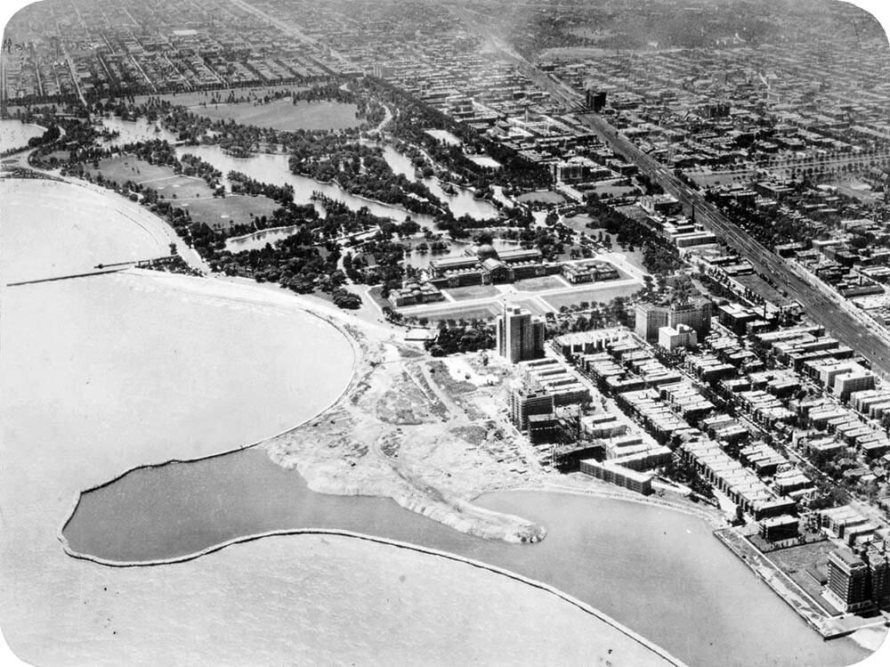
The start of landfill for the Promontory Point at 55th Street. from The Encyclopedia of Chicago.
It was supposed to the first step in a chain of islands that would connect Jackson Park to Northerly Island in Grant Park with the leisurely promenade of Lake Shore Drive running along beside them. The Shoreland Hotel was looking forward to this recreation playland.

Postcare of the Shoreland Hotel, a proto version of the Point and the start of the chain of barrier islands. from Chicago History in Postcards
But those islands would have wiped out Morgan Shoal. If you want to hear more about why Morgan Shoal and the beach next to it are beloved, check out the talk I, Phil Willink (biologist), and Bill Swislow (author of Lakefront Anonymous: Chicago’s Unknown Art Gallery) gave for the Friends of the Parks.
PS. This is my first attempt on the new platform, so please let me know the ways that it’s wonky. I’m still on my learning curve.
Thanks for joining me!
Join the conversation